

Heritage New Zealand Pouhere Taonga is the leading bicultural government agency charged with identifying, preserving and promoting our unique heritage.
We offer advice, support and administer Rārangi Kōrero/The New Zealand Heritage List, the national statutory record of our rich and diverse heritage places.


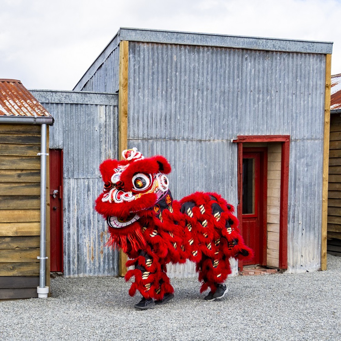
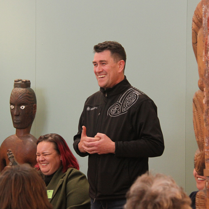
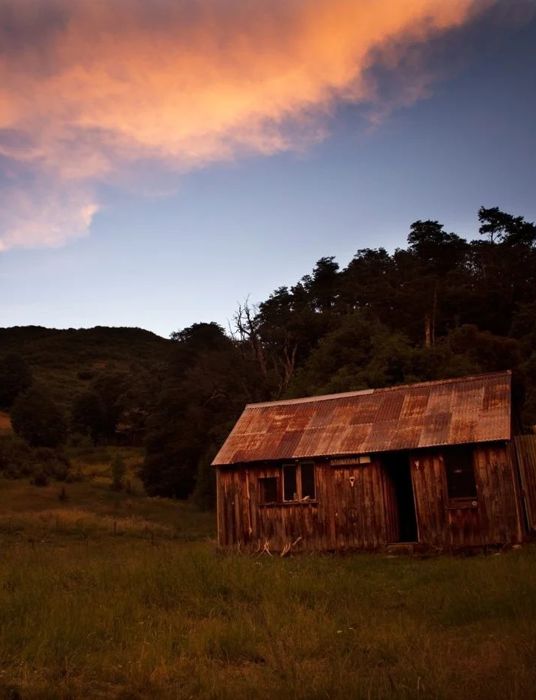
Ng King Brothers Chinese Market Garden Settlement
Opening celebration
Hundreds of descendants, guests and supporters gathered to celebrate the opening of this new community heritage park on 25 February.
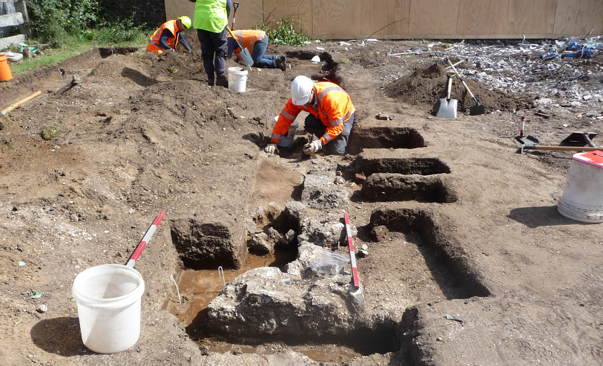
Heritage kōrero


Toro mai ki te taonga tuku iho
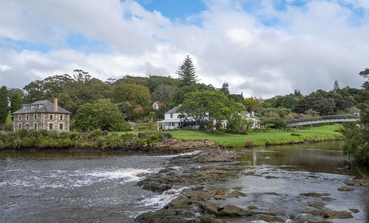
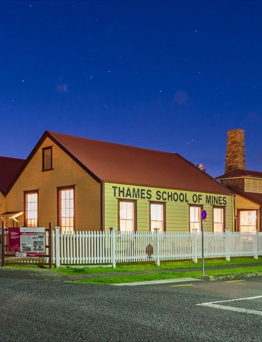
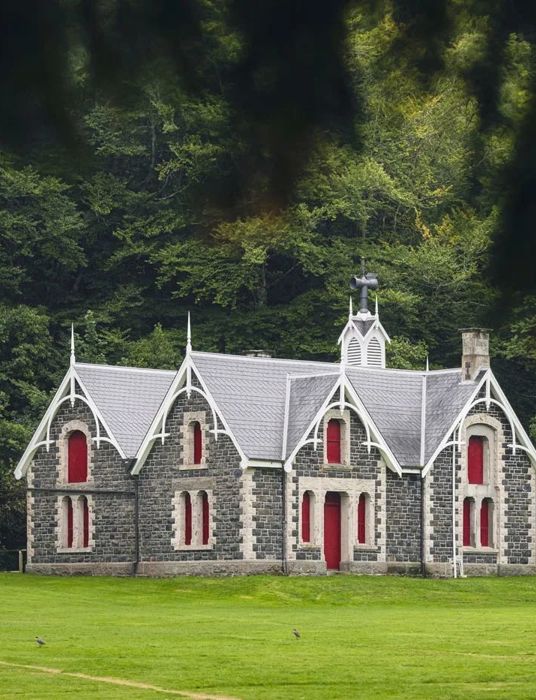
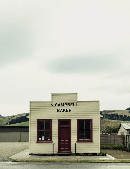
Visit Heritage
From wide lawns to winding passages, inspiring views to perfect picnic spots, our award-winning heritage properties have something for everyone. Explore Visit Heritage to find a property near you!


Stay up to date with Heritage this month
