

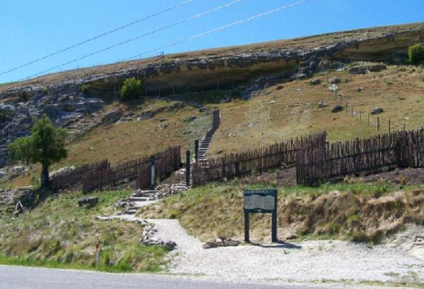
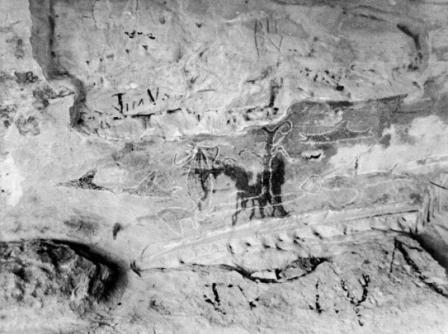
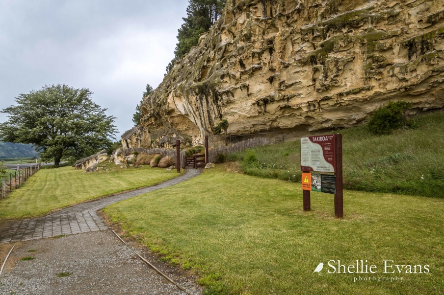
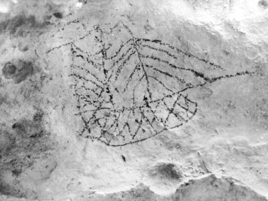
This Historic Place consists of a rock art site at the base of a north-west facing limestone cliff. The rock art site contains drawings. This historic place can be considered as part of chain of moa-hunter period sites recorded in the Waitaki Valley stretching from Korotuaheka at the river mouth, to the rock art sites at Kokoamo and Maerewhenua, to Otakaroa, to the sites at the junction of the Upper Waitaki with Shepherd's Creek and the Ahuriri River. The region that this historic place is located within has many early traditional stories associated with it, and the area is of highest cultural and spiritual significance to the Ngai Tahu Whanui. This area is of archaeological, cultural, and traditional significance due to its association with the early Maori inhabitants of the South Island, the Maori cultural values associated with it, especially in relation to the Ngai Tahu Whanui, the archaeological rarity of the site, the unique and outstanding nature of the art work that remains in-situ, and the area's association with traditional and historical figures of importance to both Maori and all New Zealanders. This historic place is located on private land, and is not open to the public.

Location
List Entry Information
Overview
Detailed List Entry
Status
Listed
List Entry Status
Historic Place Category 2
Access
Private/No Public Access
List Number
5661
Date Entered
4th April 1985
Date of Effect
4th April 1985
City/District Council
Waitaki District
Region
Canterbury Region
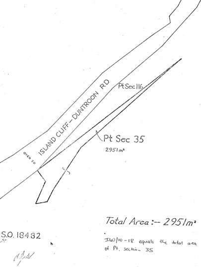
Legal description
SEC 72, Blk III Maerewhenua SD (RT OT19C/231), Otago Land District
Location Description
Approximately 500m south of State Highway 83 along Livingstone-Duntroon Road the large limestone outcrop that forms this historic area is on the eastern side of the road.
Related listings


Stay up to date with Heritage this month
